NO Reproduction in Whole or in Part, on
ANY, and ALL of my Pages,
Including Text and Pictures,
May be made, without the express Written Permission
of Web Editor, Doug Gent
© 2016
Want to add a link to my
pages?
see my
Copyright Information
Page
for the only Authorized Picture Link allowed.
All Pictures on all my web pages, are now Visibly Watermarked,
All my pages are now Right Click, (copy and paste), disabled.
I ask everyone that enjoys free history sites,
to start policing these violations.
If we don't stop this, no one will donate pictures to me, or anyone,
and we all loose.
If you see one of my pictures on Facebook, etc.
tell them to remove it.
Scout Hill
Hill of the Murdered Scout
Butte Marquee
Couple miles NW of Northgate is
Scout Hill- The Hill Of The Murdered
Scout
actually located on NW Sec 12, Tsp 1, Rge 3, W2
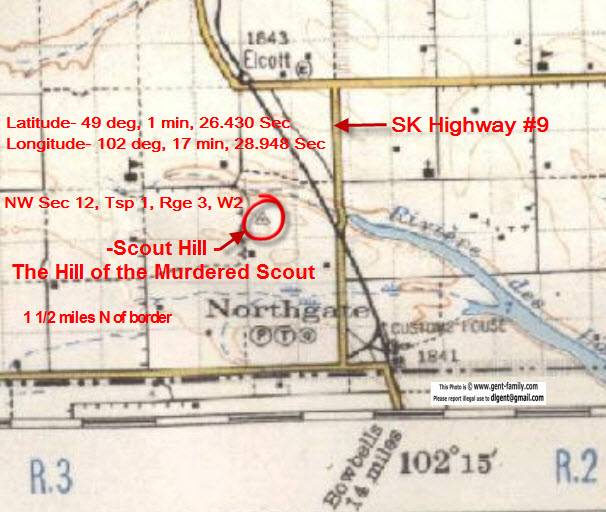
Note- 1927 map, Highway 9 is not in the
same place today (2011)
The Hill is at the north end of Riviere des Lac
On the 1927 map above there is a small
triangle marking the spot.
This actually part of a first order in a triangular network
that straddles the International border,
and was surveyed by the US and Canadian Governments.
It does not mark the exact boundary, but used to
coordinate the Official Boundary markers.
Latitude- 49 deg, 1 min, 26.430 Sec
Longitude- 102 deg, 17 min, 28.948 Sec
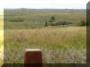
There is a concrete /stone geological
survey pillar
on top of the hill, as described above.
It is a small hill, maybe 100 ft high,
but is one of the higher points in the area.
Because it isn't real high, it is easy to miss driving by.
ca 1830 George Dawson recorded in his
dairy
the story of the Cree and Mandan tribes.
But Professor Bryce claimed it was
the Assiniboine and Sioux tribes, who were at war at the time.
An Assiniboine brave climbed the hill
with the objective to spy on the Sioux encampment nearby.
He found a Sioux warrior asleep in his buffalo robe on top.
The Assiniboine killed the Sioux with a stone.
To mark this event he built an effigy of the Sioux
making an outline of the body with stones, with a hollowed area
filled with a stone, for the head.
He also cut the footsteps near the body, removing the sod.
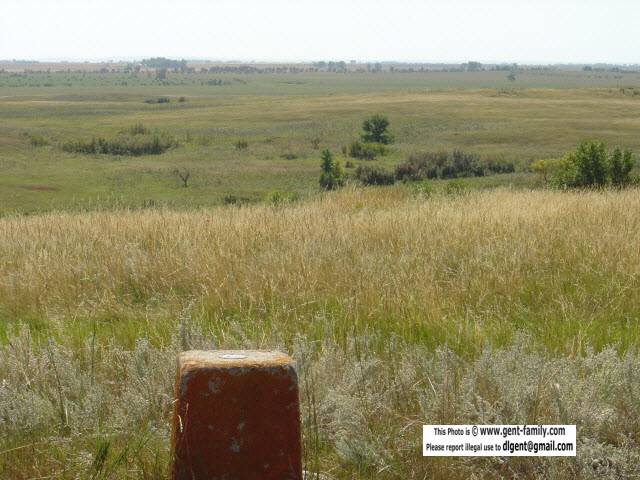
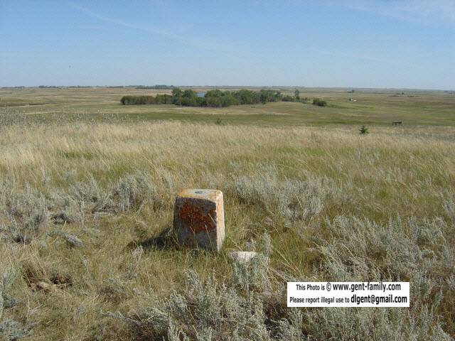
Here are some pictures of the site,
and survey marker,
taken by my friends, Wayne and Opal Wagner
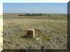
Survey Marker on top of the hill
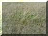
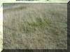
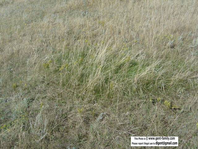
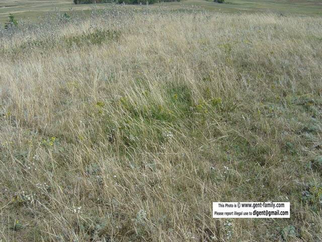
The spot where the Murdered Scout laid
now covered in moss, and a different color
than the surrounding prairie grass.
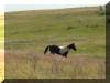
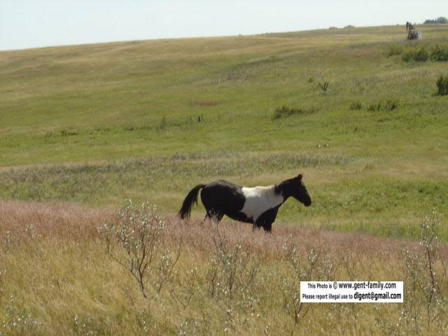
Pinto Pony came up to visit
The Hill is a famous landmark used for many
centuries,
by the Natives, later the Metis fur Traders, NWMP,
and then the early European Settlers.
NWMP under Commissioner George Arthur
French
camped overnight at this hill, Thursday, July 23, 1874
"A" Troop left here at 3:30 am heading 16 miles, to
St. Peter's Spring,
which was just SE of
Roche Percee.
You have to cross
a Texas Gate, from Highway 9,
heading west, to access the hill,
and is no doubt now Private Land.
Please try and get permission to access.
Note- I do not know the contact person, sorry.
See
my Estevan
NWMP
Wood End Museum Page
For more Pictures from this event
External Links of this Event
note- NOT my sites, links may or may not work in the future
Henri Julien's report of this Hill
http://www.ourheritage.net/steele_pages/Juliens_body.html
Dr. Bryce's report ca 1886
http://www.mhs.mb.ca/docs/transactions/1/souriscountry.shtml
Picture top of hill
http://www.ourheritage.net/steele_pages/Scout_Hill_top_now.html