|
|

 |
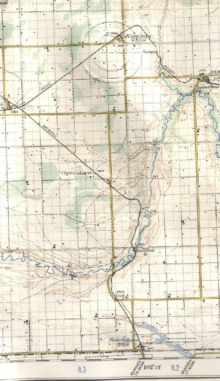
1927 S.E. Saskatchewan, Canada Highway Map |
 |
SHOWING TOWNSHIP 1, 2, 3, and a small portion of
TSP 4
IN RANGE 2 AND RANGE 3, and a small portion of RANGE 4
New* The map on this page has been modified Mar 19,
2010,
with Mouse Over Hot Spots,
on all the Schools, Churches, Towns, Rivers, Creeks, Lakes, etc.
shown on the large map below,
If you "hover" your mouse pointer over any item,
it will show a caption note for that item,
which when "clicked on",
will take you to the name and brief description I show below.
This will help better to identify the Schools and Churches, etc.
not named on
the map.
Note- Some still not identified, or researched.
If you know any of these,
Please let me know which page (URL) and # of the item.
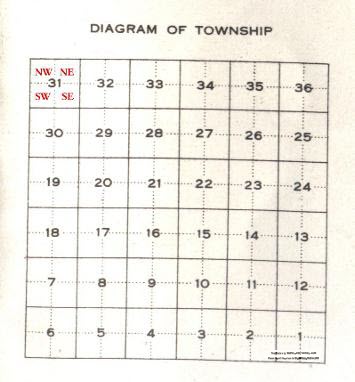
Table below laid out the same way as the Map below
| Portion Tsp 4, Portion Rge 4, W2 |
Portion Tsp 4, Rge 3, W2
Alameda,
Highway 9 runs N & S |
Portion Tsp 4, Most of Rge 2, W2 Moose Mountain Creek |
|
Tsp 3, Portion Rge 4, W2
Portion of
Frobisher,
|
Tsp 3, Rge 3, W2
Mayflower School #866,
South Alameda
School #96,
Highway 9 runs N & S
|
Tsp 3, Most of Rge 2, W2
Oxbow,
Bow School #165
Moose Mountain Creek
|
| Tsp 2, Portion Rge 4, W2 |
Tsp 2, Rge 3, W2
Openshaw,
Out Of Sight School # 1345,
Roscoe School # 1100,
Unknown School No 1 Highway 9 runs N & S |
Tsp 2, Most of Rge 2, W2
Marconi School # 1313,
|
|
Tsp 1, Portion Rge 4, W2 McColl School # 2539,
|
Tsp 1, Rge 3, W2
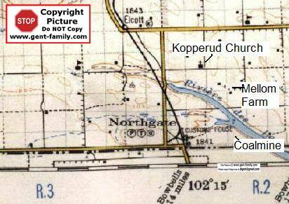
Elcott,
My Elcott web page
Parkfield,
Stony Run School # 1051,
Highway 9 runs N & S
|
Tsp 1 , Most of Rge 2, W2
Northgate,
Souris River,
My Souris River web page
Kopperud Lutheran Church / Cemetery,
Boscurvis Methodist (United) Church
St. Peter German Lutheran Church
Scout Hill School # 617,
Rivière
Des Lacs Lake |
Common Waterways
Souris River (aka, Mouse River, St.
Pierre)
Tributary of the Assiniboine River,
Originates in Yellow Grass marshes, north of Weyburn, SK.
Goes down to Minot, ND, USA, then back up into Manitoba, Canada
ending at the Assiniboine River.
The mouth of the Souris was the site of Two Rivers
School
and a short lived village called Souris Mouth, and/or Two Rivers.
which today, is just a couple miles, NE of Treesbank Manitoba
700 km (435 mi) in length and drains about 17,600
square miles
2 dams are on this river now, Rafferty and Alameda
Moose Mountain Creek
a Tributary of the Souris River
Moose Mountain Park area drains into the Souris, via this creek.
It is shown
running north by Rapeard
The mouth of the creek at the Souris River, is just west of Oxbow.
Highway
18 on this old 1927 map
running East and West
from Bienfait to the Manitoba border,
is quite a bit different today
The Highway has been shortened up considerably


